Millimetre-accurate reality capture for complex industrial assets. We transform physical structures into precise digital intelligence.
Data capture performed while plant remains fully operational.
Remote scanning eliminates the need for scaffolding or high-risk access.
Eliminate human error with survey-grade 3D measurements.
Rapid deployment to site with quick data turnaround.
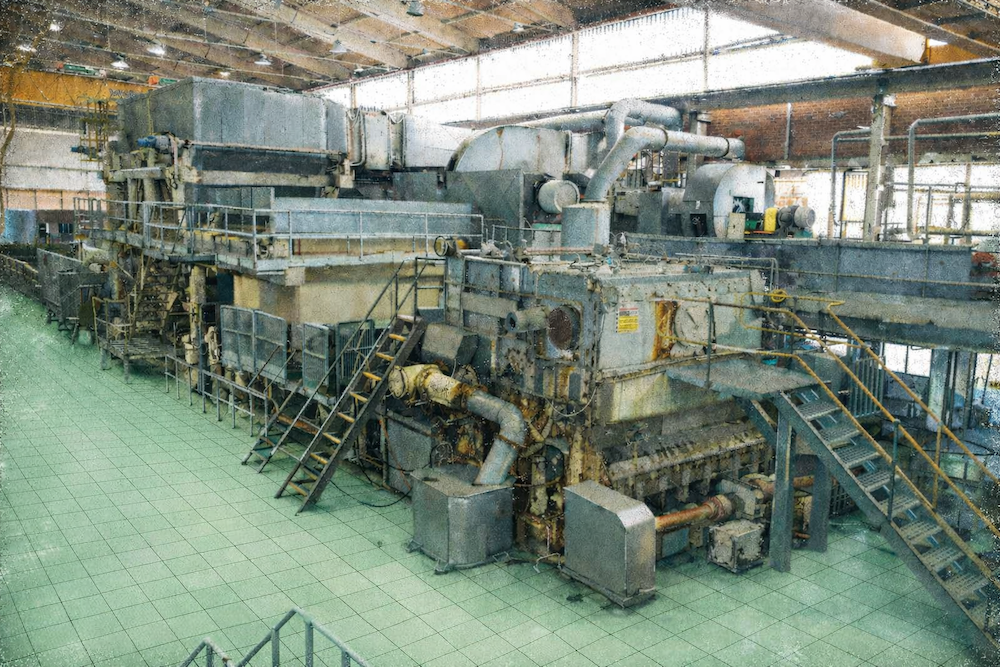
The Mentor Engineering team has been providing laser scanning since 2005. During this time, we have worked with multiple types of laser scanners and have provided our services in an array of different industries both locally, internationally and in some remote locations.
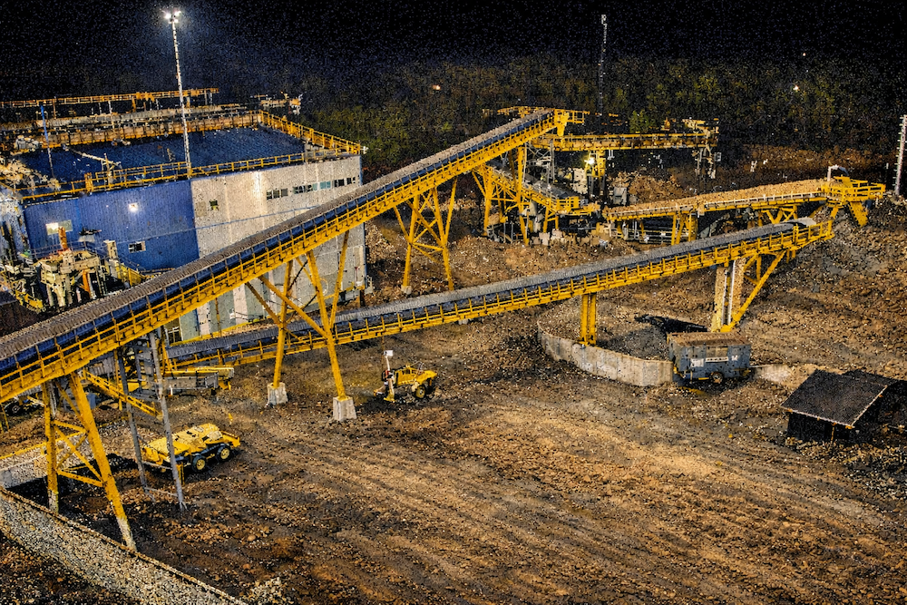
The industries include Petrochem, Pulp & Paper, Sugar, Maritime, Food & Beverage, Architectural, Mining, Raw Material Handling, Water Treatment, Automotive. The list goes on.
We pride ourselves on our fast mobilization, efficient workflow, quick turnaround times and being able to adapt to our customers’ needs.
Whether a project requires a single scanner or multiple field teams operating simultaneously across various locations, we have the capability to scale our reality capture resources to meet project demands.
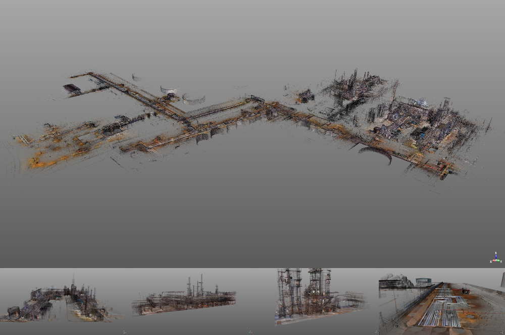
Whether you have a small project of just a few scans to capture a building profile or are looking to capture your entire process plant, we have you covered. Our largest laser scanning project to date was in the Petrochem industry and covered 170 000m² with 3700 scans
Laser scanning is a method of measuring objects and spaces by using laser light to capture their shape, size, and position with very high accuracy (often down to a few millimeters precision) and position them accurately in 3D. This creates a point cloud.
A laser scanner can capture accurate information in hard-to-reach or hazardous areas without the need for physical access. This allows detailed 3D data to be collected from safe locations, sometimes eliminating the need for scaffolding, rope access, or shutdowns. As a result, complex environments can be measured quickly, safely, and with high accuracy, even in places that would normally be difficult or dangerous for people to reach.
A point cloud is a collection of millions of points in 3D space that represent an accurate as built of the shape and surface of an object or area.
A point cloud can be used for many purposes, including:
Bring the point cloud into your design software of choice to use as your accurate as-built for your new design. We offer multiple formats that cover most design programs. Also see our design services.
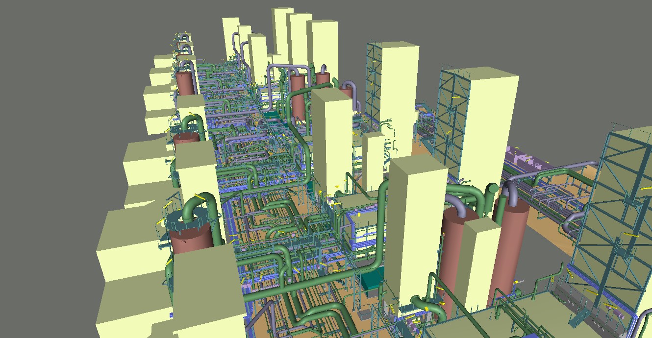
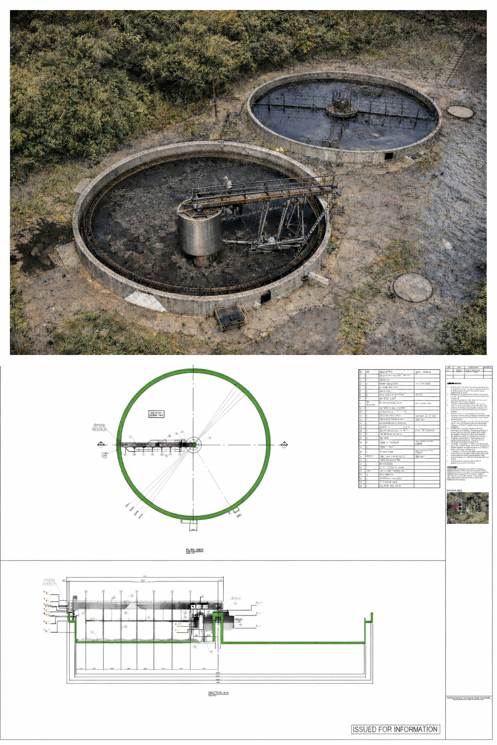
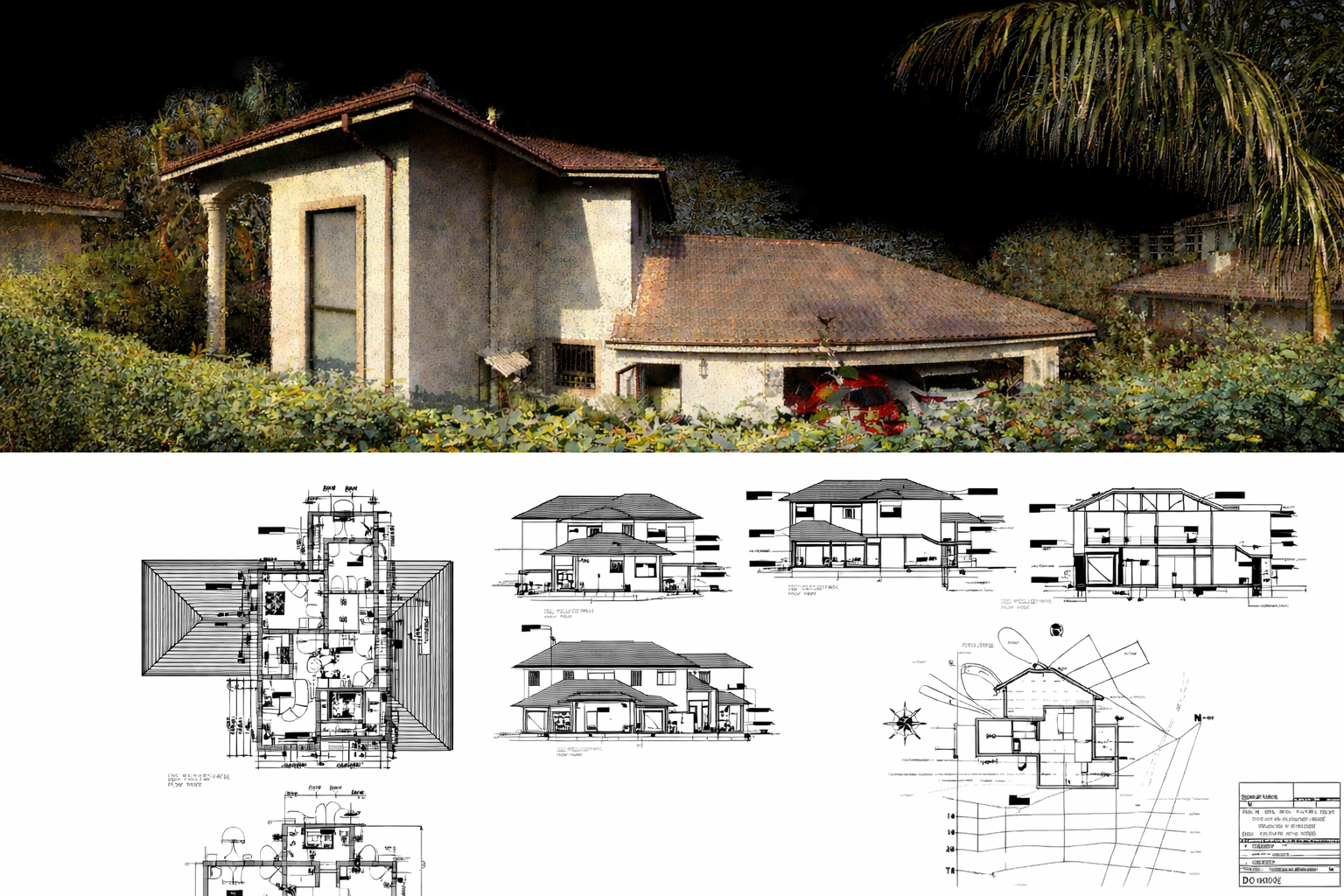
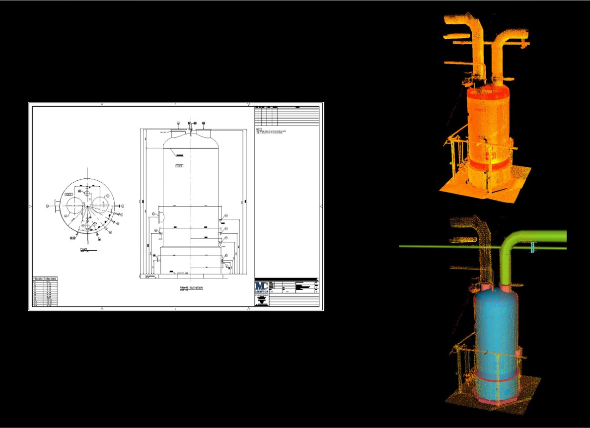
Create accurate digital models of buildings, process plant, machines, and landscapes. We offer this service and can deliver models in multiple formats.
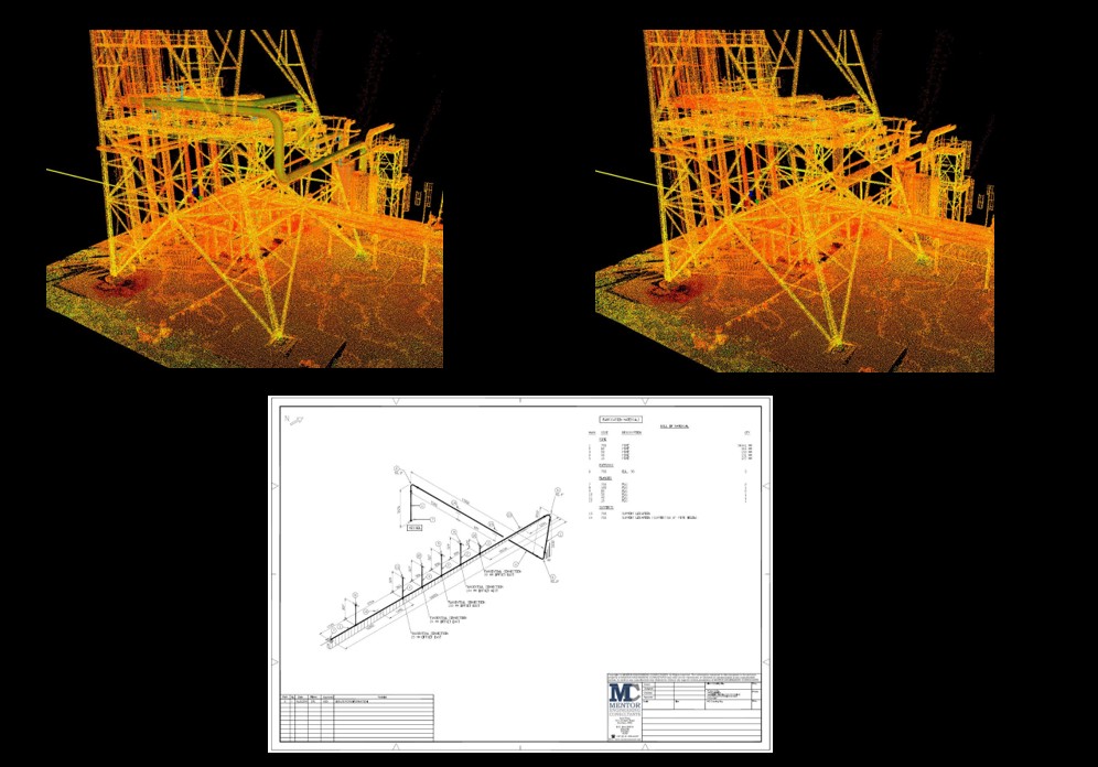
Use the point cloud to create smart P&IDs of your process. We offer this service using Plant 3D.
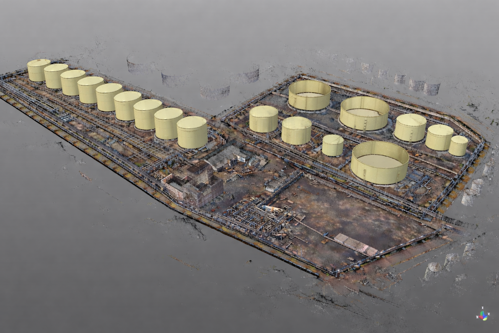
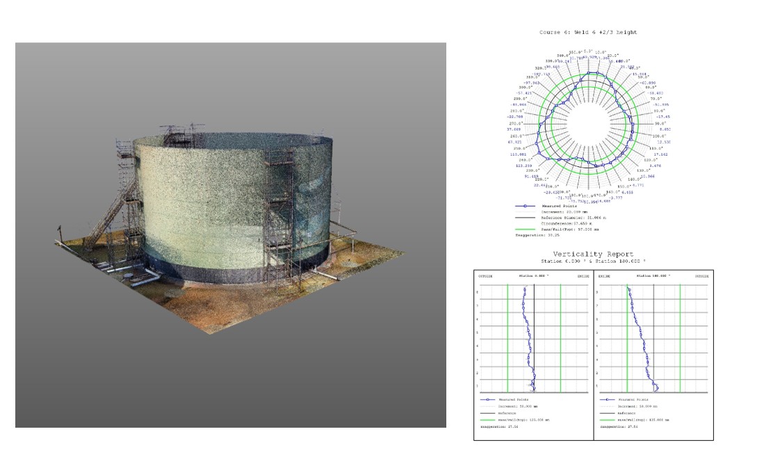
Use the point cloud to generate reports and check roundness, verticality, and settlements of your tank against API standards. We offer this service.
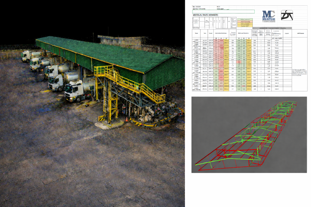
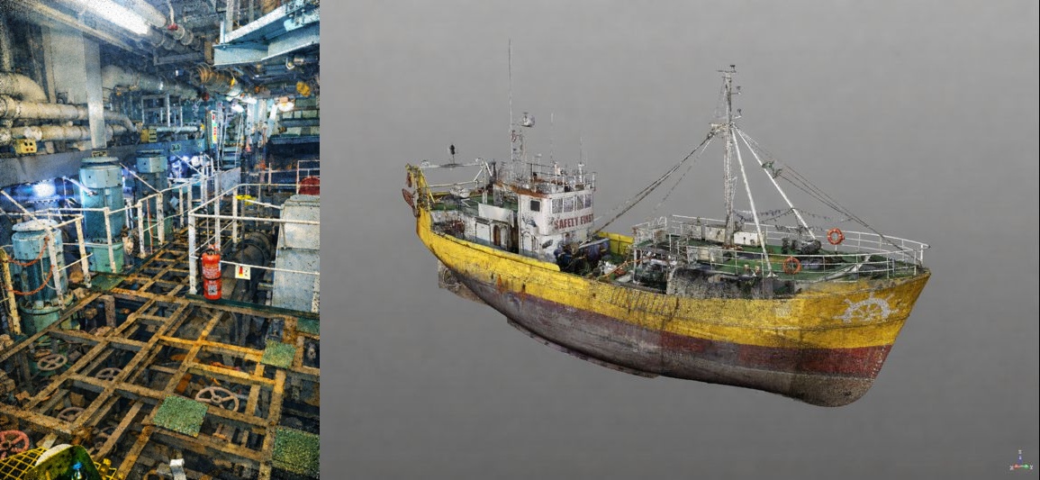
Assessing wear, damage, or deformation. We can assist in analysing the data and generating reports on your structure. There are multiple applications for this. It can be used on beams in houses to check for sagging, the hull on a vessel to check for deformation or damage, and steel structures for sagging and deformation.
Simulate lifting operations safely and accurately, check clearances around equipment and structures, plan crane positions and boom movements, determine lift paths and swing radii.
Use the point cloud to check your stockpile volumes.
Monitor construction to make sure the building is done to plan. We can assist with ongoing scanning during the construction phase of your project. This can help identify mistakes early and assist in quick remediation to avoid knock-on effects down the line.
Laser scanning is widely used in construction disputes to provide accurate, unbiased evidence of site conditions.
Creating terrain models and maps.
Realistic environments for training.
Keeping accurate records of existing conditions.